


'/%3E%3C/svg%3E "Youtube")
Amman – June 2026
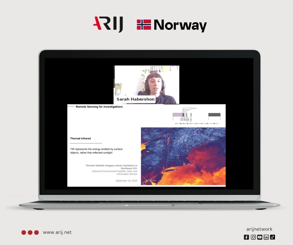
ARIJ organized a webinar titled “Satellite Data in Journalism,” as part of the seventh Data Journalism Diploma sessions, with registration opened to the general public to broaden participation. The webinar was delivered by journalist and researcher at the Institute for Remote Sensing and Earth System Science at Germany’s University of Leipzig, Sarah Habershon, with over a hundred participants from more than 13 countries (60% female).
From a Data Vault to an Investigative Tool
Habershon opened by recounting her personal journey from data journalism at the BBC to the world of remote sensing, explaining how her deep dive into COVID-19 coverage led her to discover the immense potential that satellite imagery offers for journalistic work, particularly in human rights and environmental accountability investigations. She emphasized that the availability of Earth observation data is unprecedented in history, and that these tools are now more accessible to journalists than many realize.
Habershon traced the historical evolution of the field, from military reconnaissance satellites in the 1960s to a pivotal shift in 2008, when the Landsat program made its data freely available to the public, followed by a commercial launch boom led by companies such as Planet Labs, which photographs the entire Earth every 24 hours. She revealed that satellite data has three core dimensions every journalist must understand: spatial resolution, relating to the size of a single pixel; temporal resolution, relating to how frequently a given area is imaged; and spectral resolution, which reveals what the naked eye cannot see, such as heat, moisture, and agricultural activity through infrared imaging and SAR radar capable of seeing at night and through cloud cover.
When Data Becomes a Political Weapon
Habershon devoted a central portion of the webinar to what she described as the “political economy of satellite data,” exposing how governments, militaries, and major corporations hold real leverage over the flow or suppression of this data. She cited documented examples: the United States’ long-standing restriction of high-resolution imagery of Palestine and the occupied territories, and the Bolsonaro government’s attempt in Brazil to obscure deforestation data by dismissing the head of its environmental agency and replacing open data with commercially licensed alternatives, before Norway intervened, purchased the commercial data, and made it freely available. She closed with a pointed warning: “You are always at the mercy of whoever pays the bill,” stressing the necessity of cross-referencing multiple sources as the only safeguard against censorship and manipulation.
In the practical segment, Habershon clarified that entering this field requires no prior technical expertise, starting with tools such as Google Earth and the Copernicus Browser is sufficient to access and analyze free satellite imagery, citing a complete investigative report on urban expansion in Cairo that was produced using Google Earth exclusively.
Wide Participation and High Satisfaction
Post-webinar evaluation results showed an overall satisfaction rate of 85%, while trainer Sarah Habershon received a rating of 89%, an indication of her success in transforming complex scientific material into inspiring and actionable journalistic content.
This webinar is part of ARIJ’s ongoing efforts to equip Arab journalists with the latest tools and scientific methodologies, and to strengthen collaboration between newsrooms and the academic community in the field of Earth observation, harnessing its data to serve investigations with real impact.
Participant Testimonials
Sidra Al-Hussein from Syria said: “Attending this training was a significant step in my professional journey. I was able to connect theoretical concepts with practical analytical tools, which opened new horizons for me in geospatial verification and crafting investigative stories.”
Amal Al-Azzi Al-Sablani from Yemen noted that she “left the webinar with ideas and tools that she feels will be valuable in developing her investigative journalism, as it introduced her to a new dimension of using satellite data in a simple and practical way.”
Khaled Abu Ruqayyah from Saudi Arabia noted that “as the explanation progressed during the workshop, he began to revisit two projects he had set aside due to difficulties in accessing data and now sees real potential in completing them.”
Maria Mansour from Lebanon expressed that the session “allowed her to discover resources that have not yet become standard for Arab journalists, and she was particularly struck by the examples of what Bloomberg journalists and others have uncovered by relying on this data.”