


'/%3E%3C/svg%3E "Youtube")
September 14, 2026
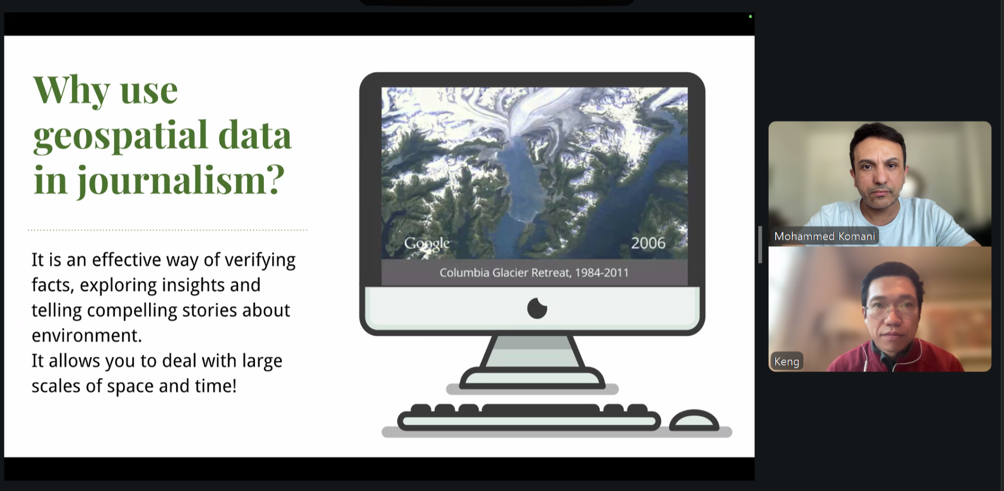
ARIJ held a webinar titled “Seeing the Story from Space: Data & Satellite Imagery for Environmental Reporting,” delivered by Kuek Ser Kuang Keng, Senior Editor for Rainforest Investigations at the Pulitzer Center, and moderated by investigative journalist and ARIJ Investigations Supervisor Mohammed Komani. More than 90 participants from 19 countries attended (60% women). The webinar covered the role of data in environmental and climate reporting, reliable sources of environmental data, and how to turn satellite imagery into publication-ready visuals. It was held as part of the seventh Data Journalism Diploma, in partnership with the Norwegian Embassy in Jordan.
Data as Evidence
Keng opened the session with a question: why do we need data if we can interview experts? He explained that data reveals hidden activities and actors, measures the scale and cost of a problem, and moves reporting from individual opinion to evidence grounded in scientific methodology. He cited the investigation “Choking Kurdistan,” on which he worked as a data journalist.
Keng also discussed sources of environmental data in settings where official information is scarce, from open monitoring platforms such as Global Fishing Watch, Global Forest Watch, Global Energy Monitor, to academic researchers, data from neighbouring countries, and technology companies
From Satellite Image to Interactive Story
In the hands-on segment, Keng walked participants step by step through tracking a protected forest near the Cambodian capital, Phnom Penh. He began with historical imagery in Google Earth, which placed the deforestation between February 2022 and July 2023, then moved to the Copernicus Browser and Sentinel-2 imagery, which narrowed the window to just two weeks, between July 29 and August 13, 2022. The session concluded by turning the two images into an interactive “before and after” comparison using Flourish, ready for publication on any news website.
Keng emphasised that satellite images are more than photographs, as they can reveal water salinity, vegetation health, and oxygen levels. However, reading them accurately requires partnering with specialised experts to avoid drawing incorrect conclusions.
Post-assessment results showed an overall satisfaction rate of 85%.
This webinar is part of ARIJ’s ongoing efforts to equip Arab journalists with practical tools for using data and satellite imagery in environmental investigations capable of measuring harm and identifying those responsible.
Participant Feedback